


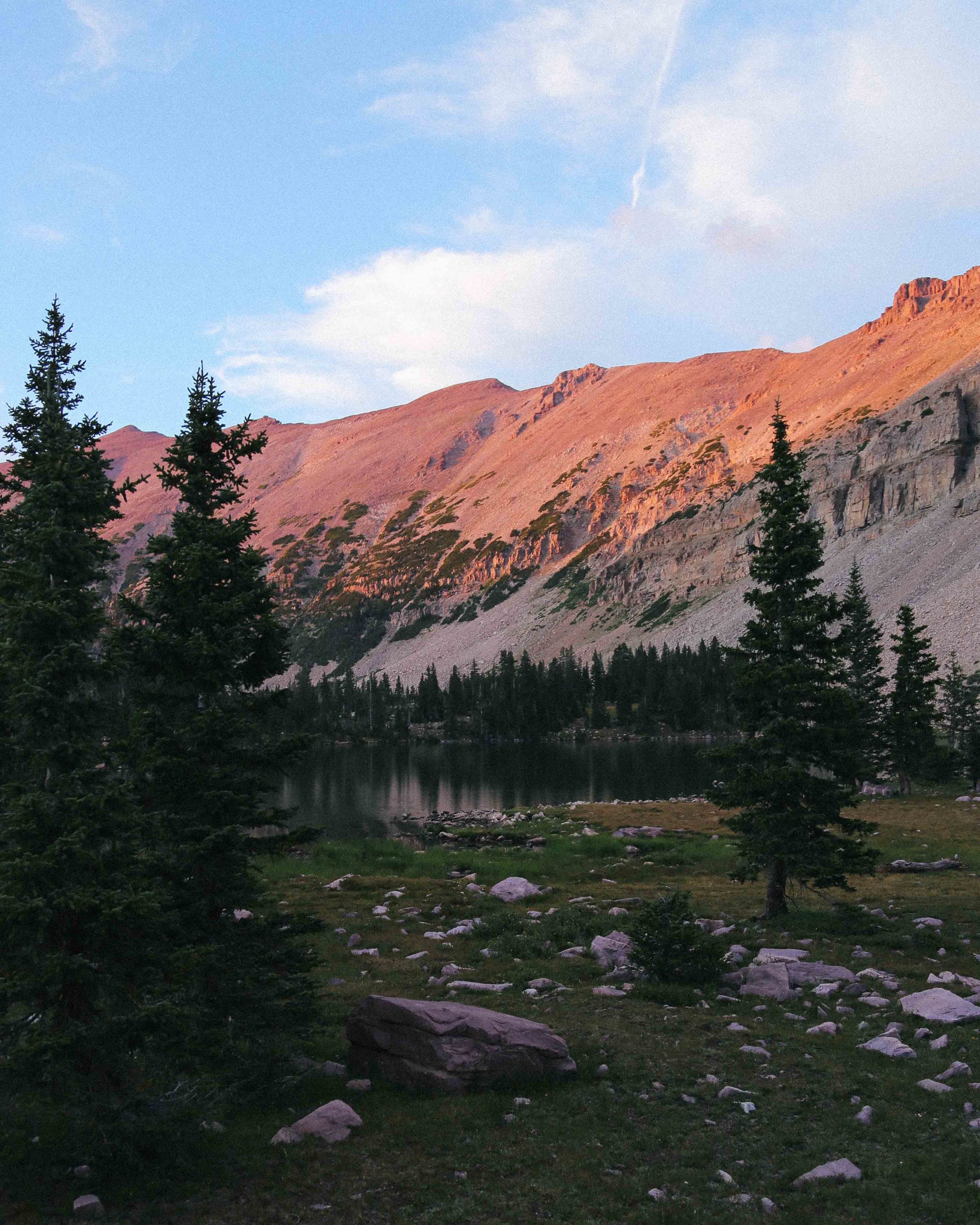
AMETHYST BASIN - HIGH UINTAS WILDERNESS, UTAH
Distance (roundtrip) - 13.2 miles
Elevation Gain/Loss - 1,950 feet
lowest elevation (christmas meadows trailhead) - 8,790 feet
Highest Elevation (Amethyst Meadows) - 10,360 Feet
Highest elevation (Amethyst lake/basin) - 10,740 feet
Difficulty - Moderate/strenuous
Water Source - natural, Filtration necessary
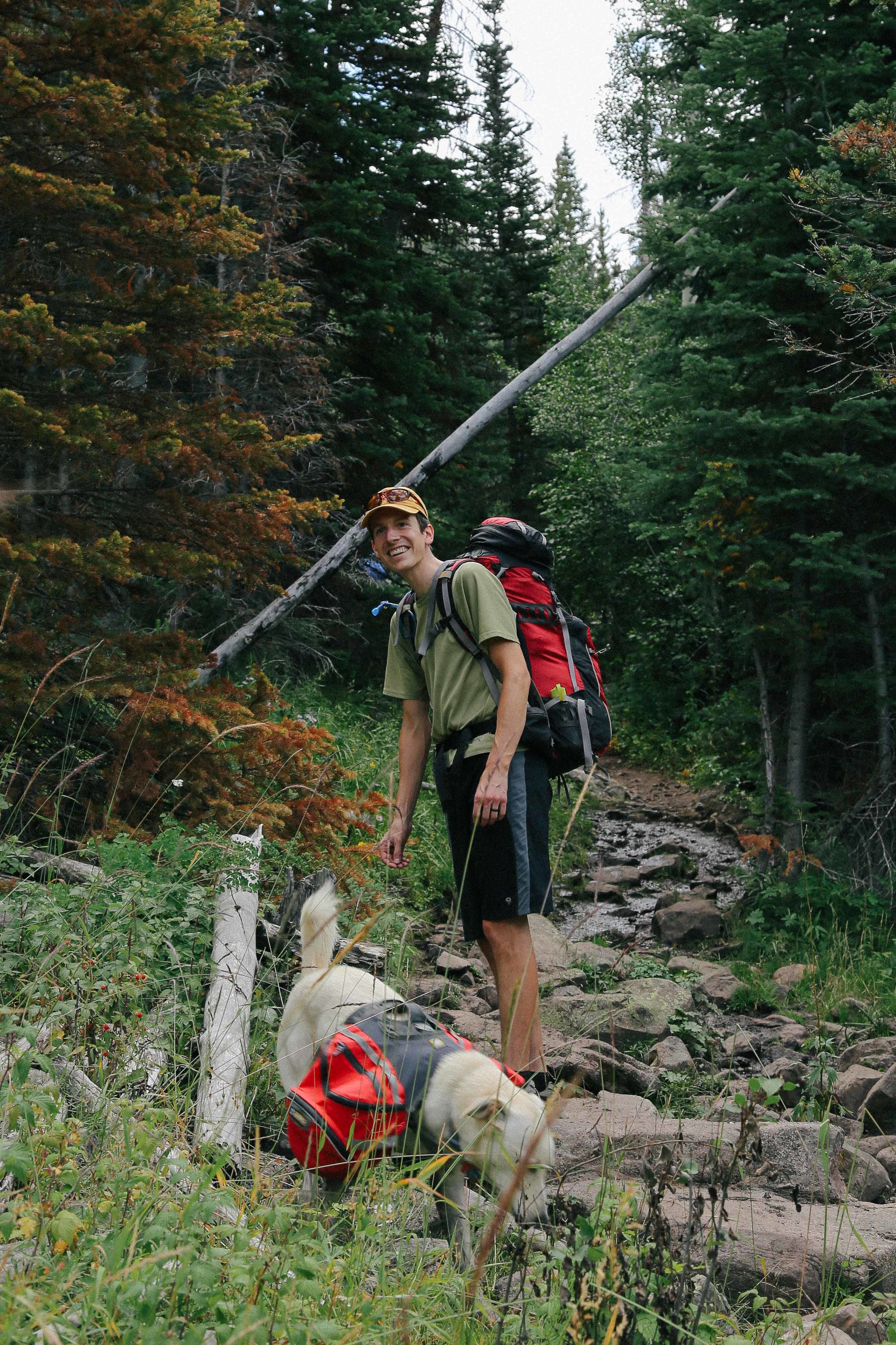
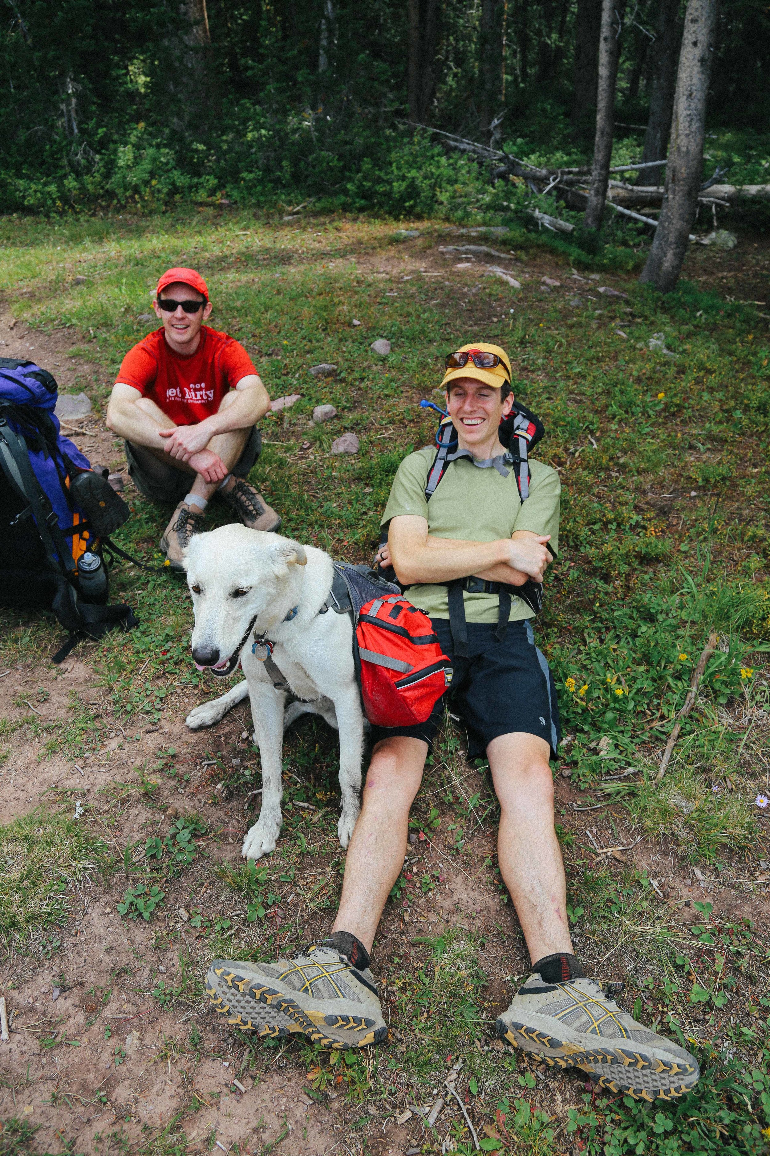
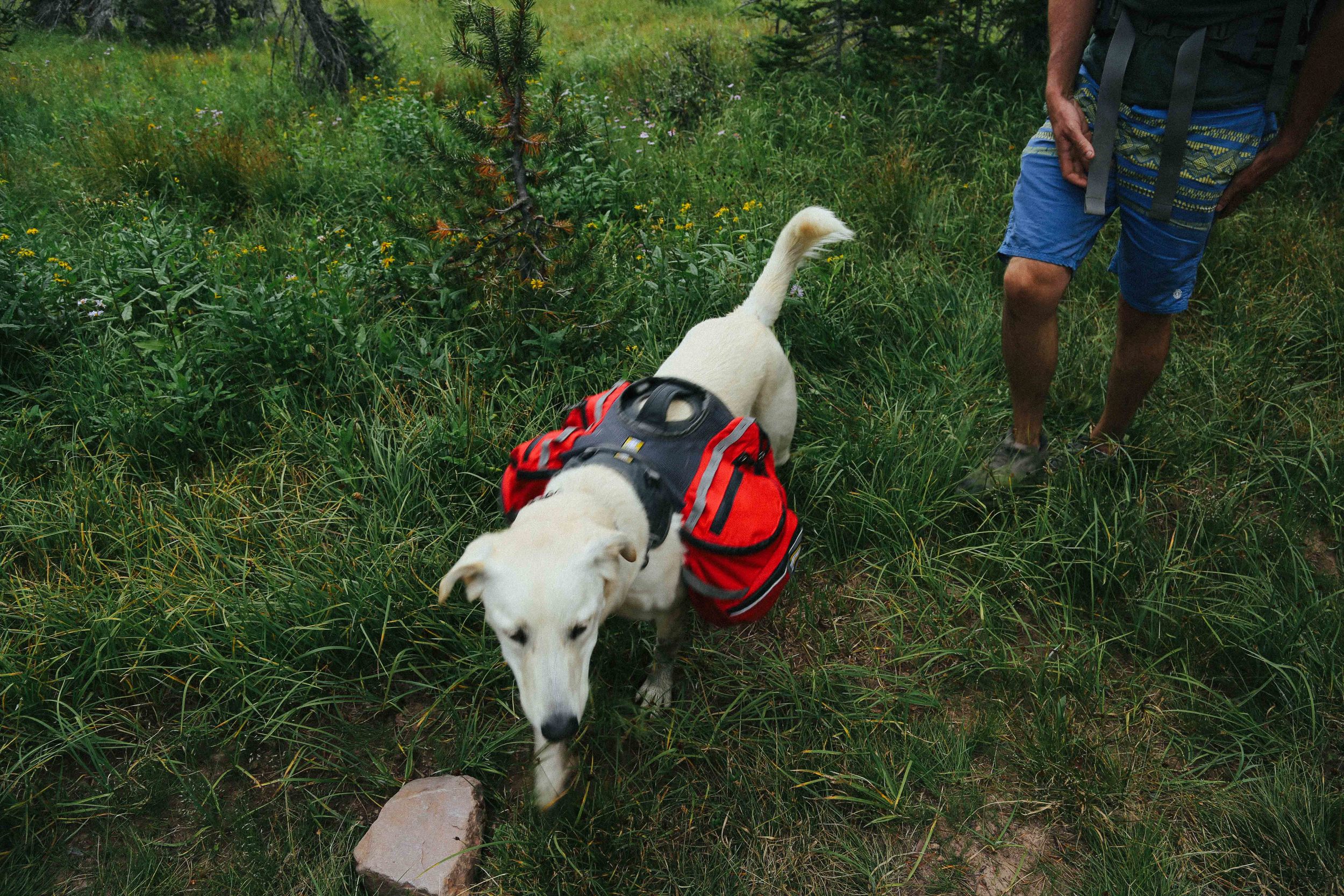
dog-friendly - yes
Parking fee - Yes, $3 cash only (free with national parks pass)
ideal season to backpack/camp - summer/early fall
Campfire restrictions - no fires within 1/4 mile of lakes
TRAIL OVERVIEW
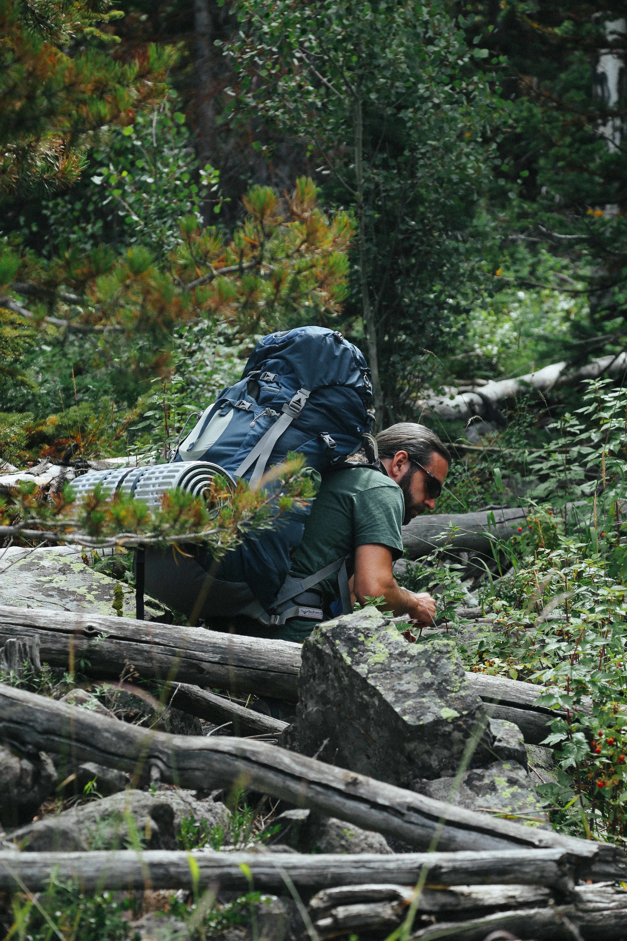
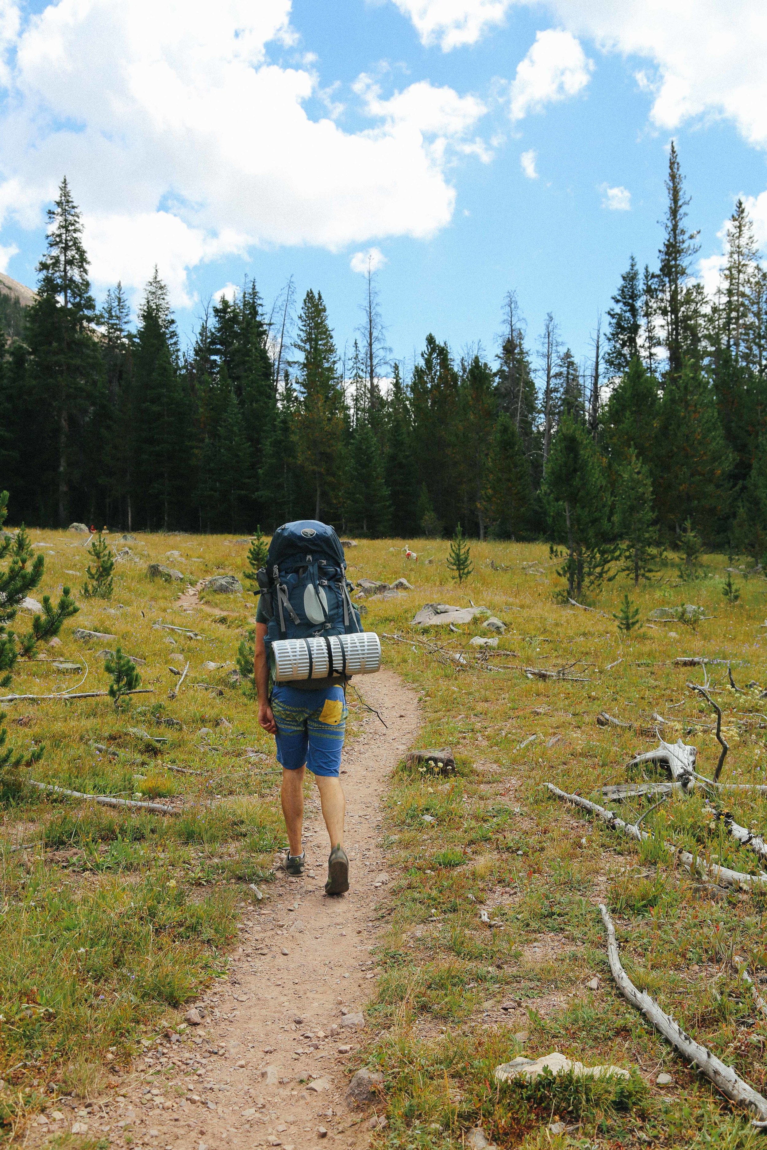
The trail to Amethyst Lake and Amethyst Basin starts at the Christmas Meadows trailhead. The parking lot is divided into a lower section (for general parking) and an upper section reserved for trailers (primarily for horse riders and shepherds). Two well-maintained pit toilets are located at the trailhead. You can use a National Parks pass to park at the campsite overnight (leave the pass on your dashboard so that the expiration date is visible, and write your pass number on one of the fee envelopes provided at the trailhead), otherwise you will need to pay a $3 parking fee using a parking fee envelope before beginning your hike.
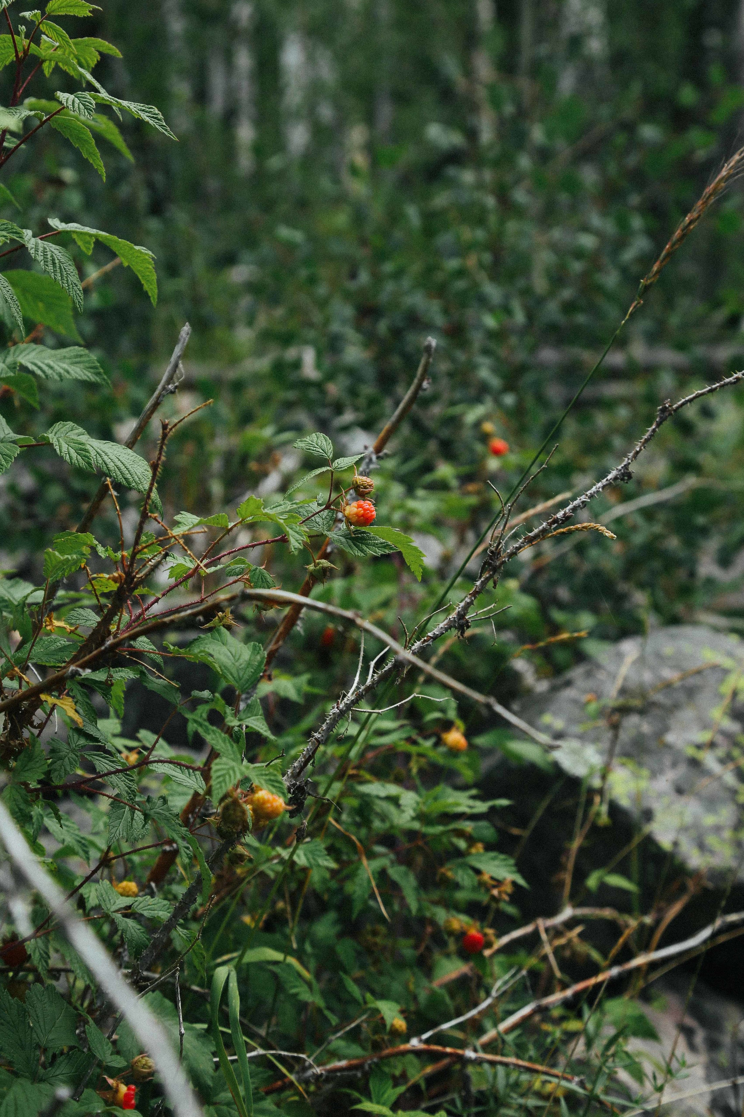
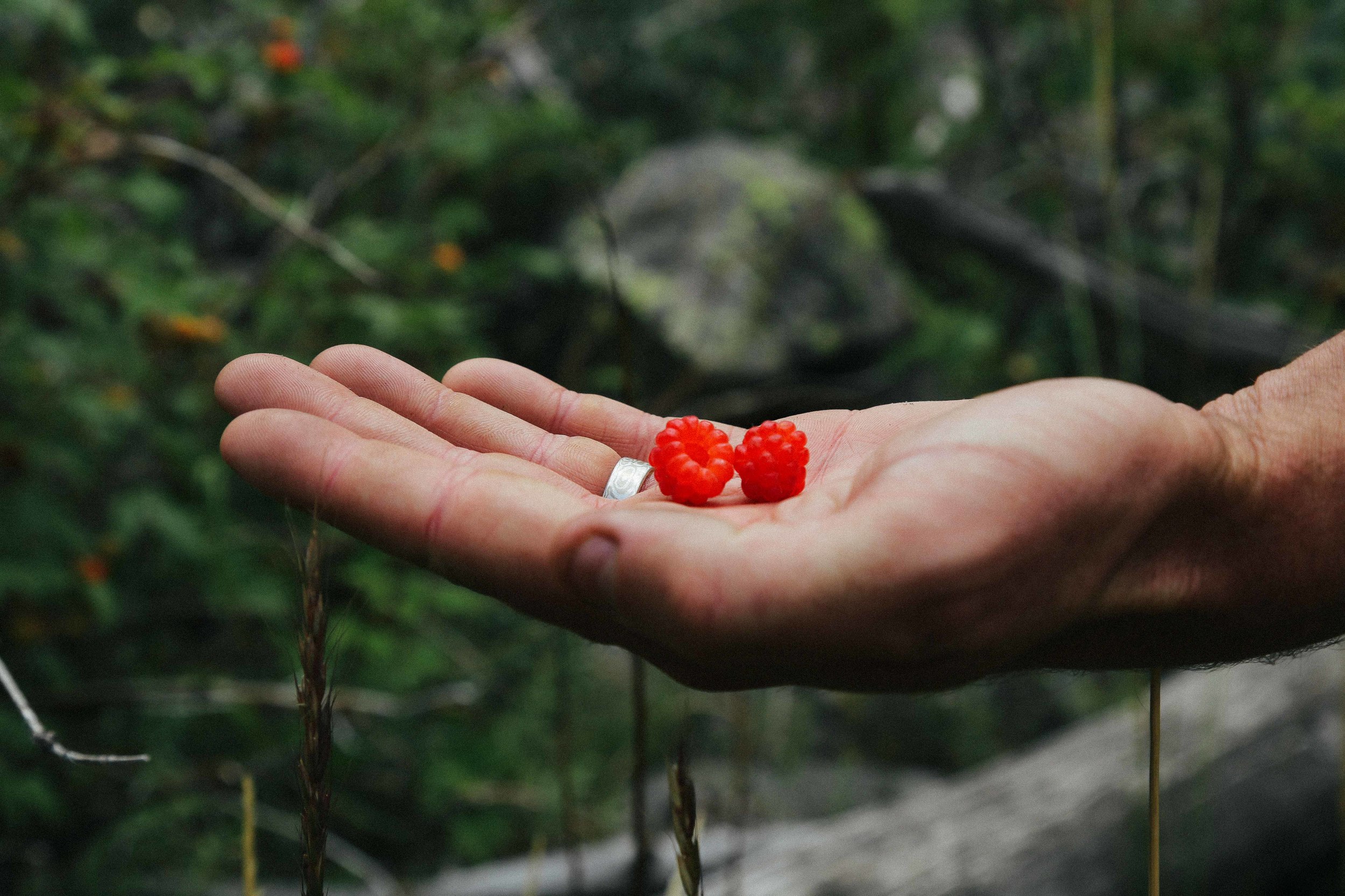
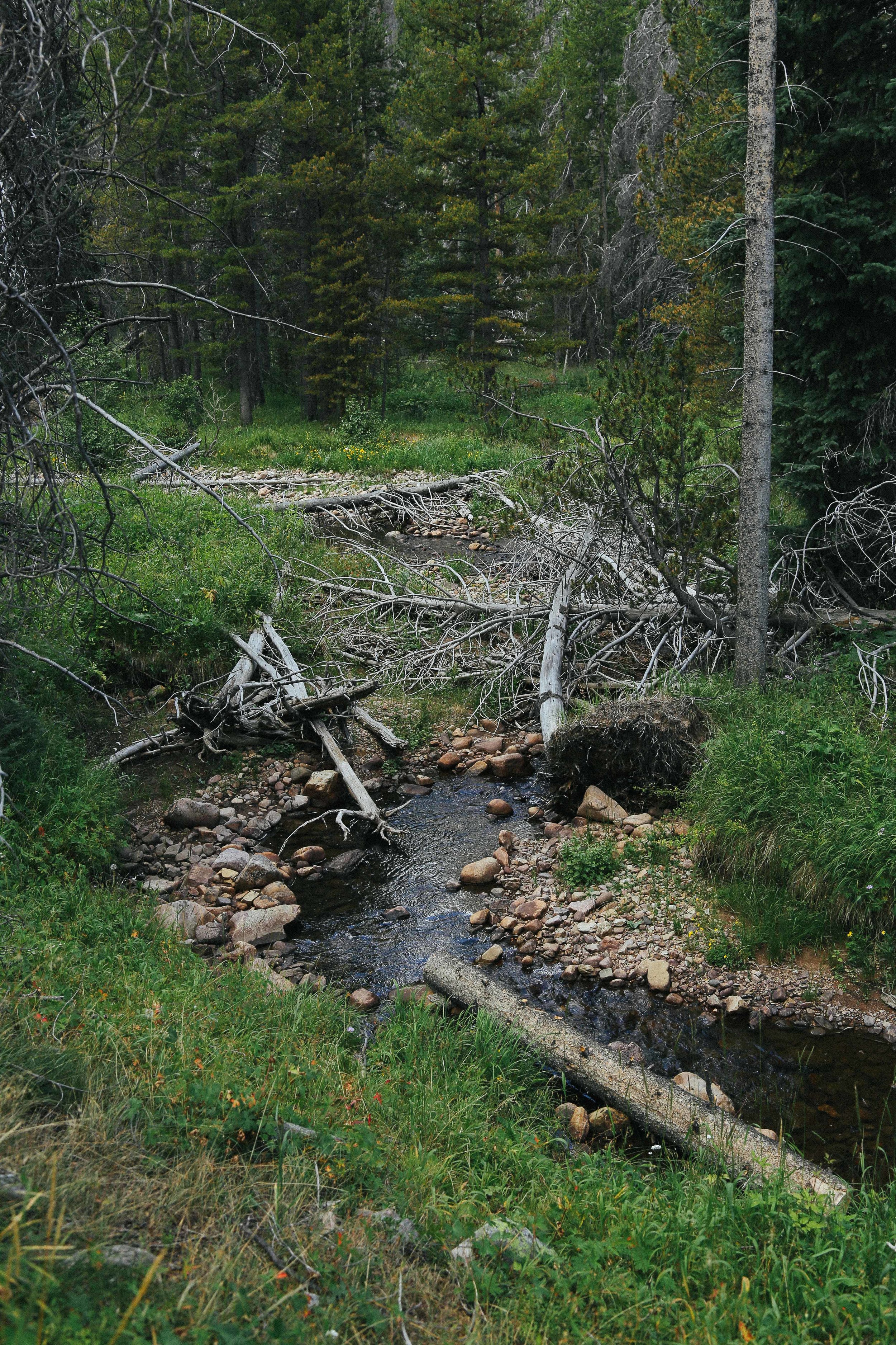
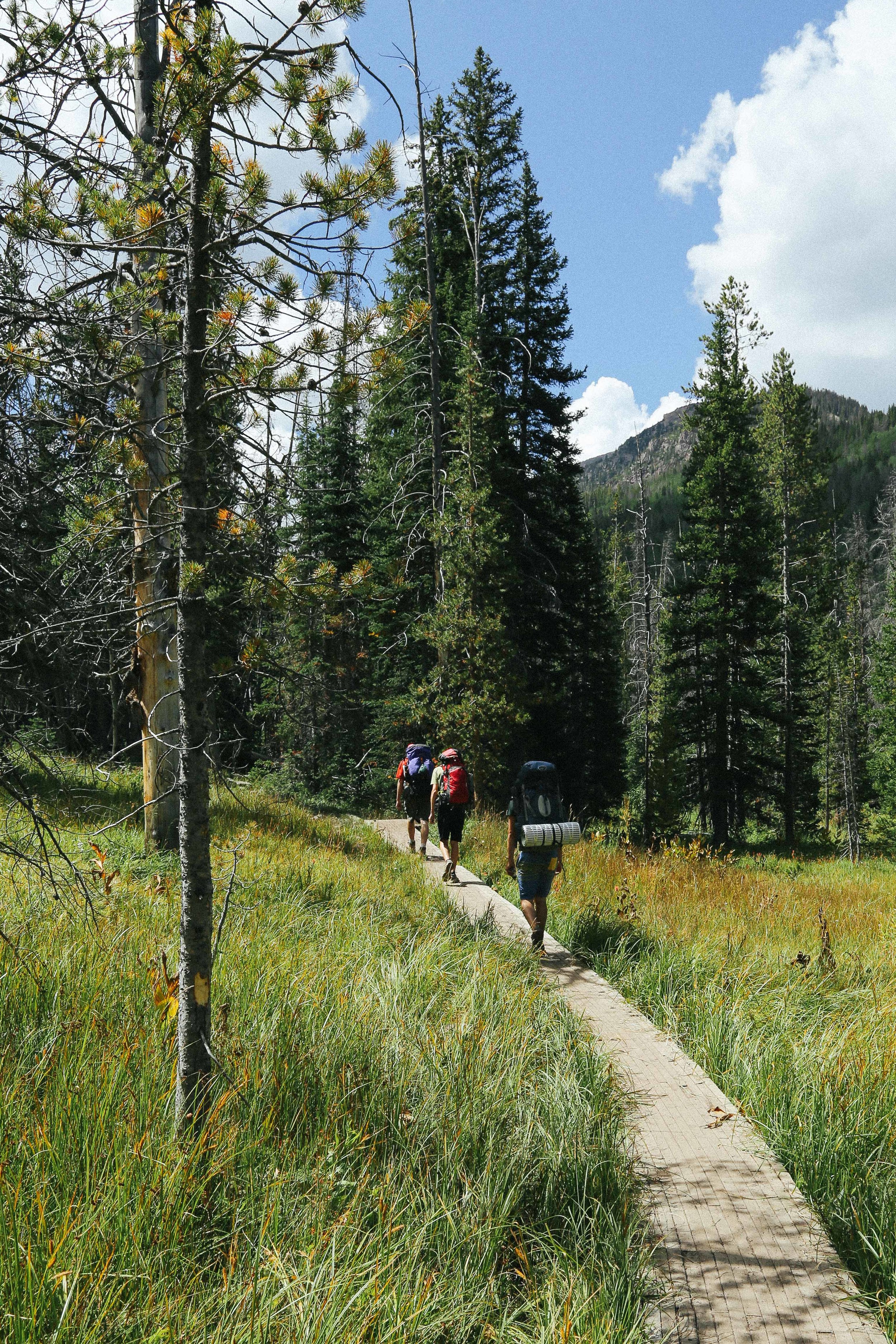
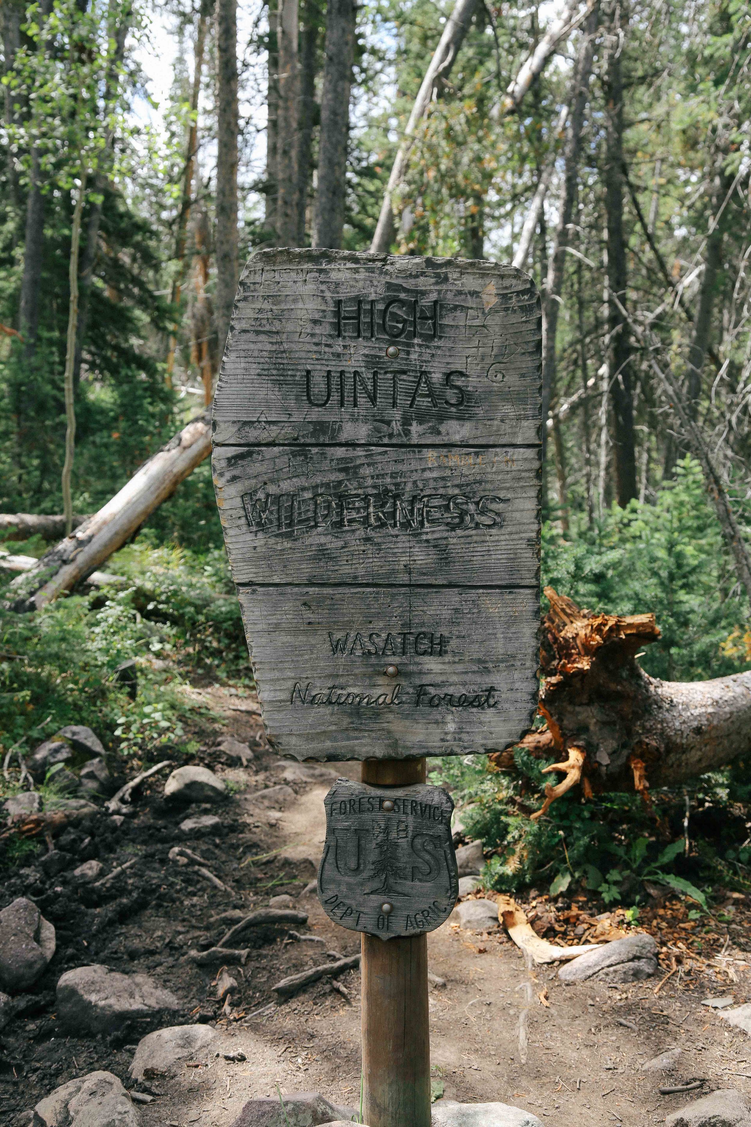
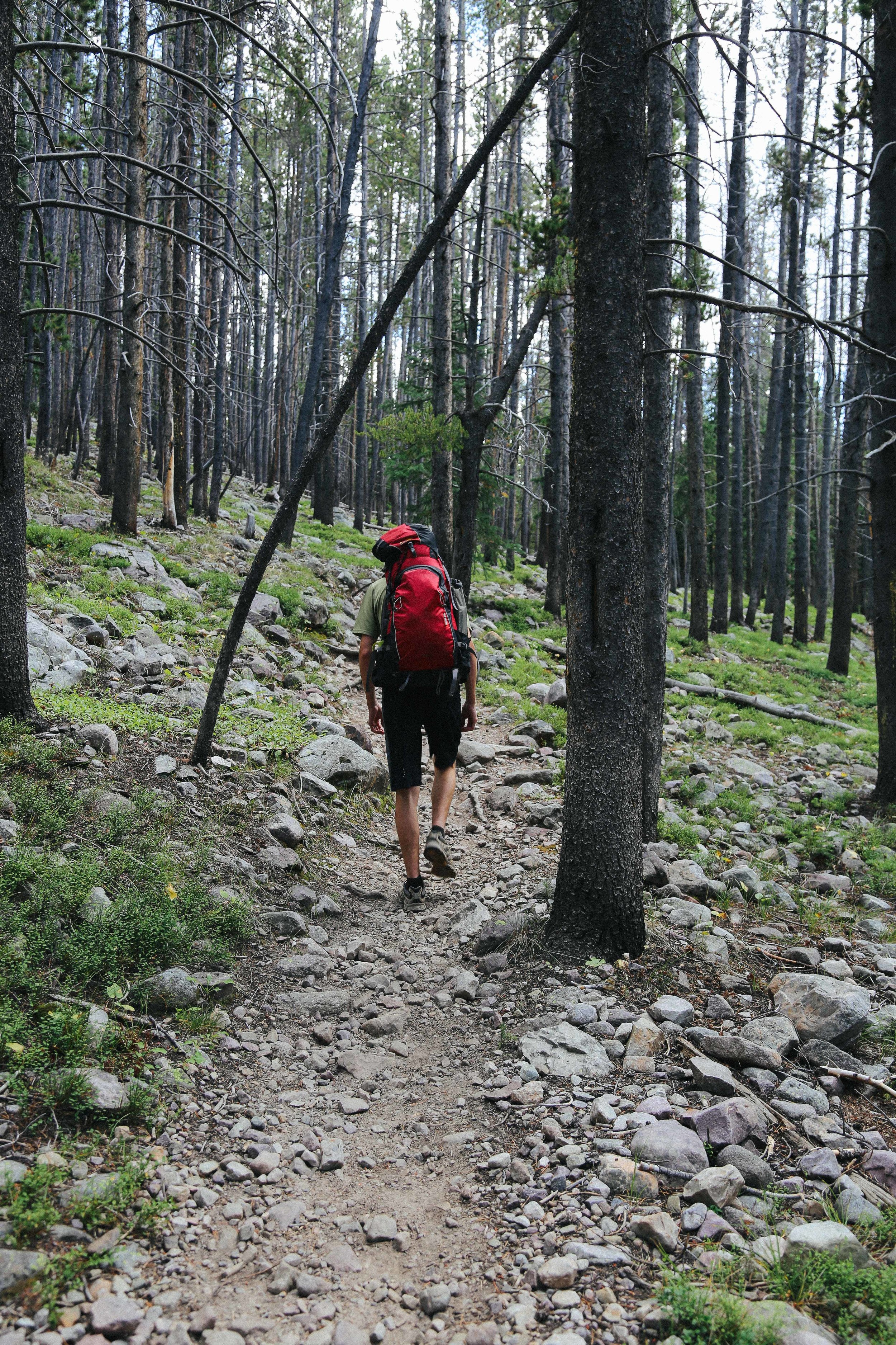
The first section of the trail winds its marshy way along streams and over brooks and grass for a relatively flat 2.5 miles. Wild raspberries and strawberries can occasionally be found along the trail. About 200 yards after passing the "High Uintas Wilderness" sign, the trail forks and veers left and sharply upward. It is easy to miss this turn-off, so keep your eyes peeled.
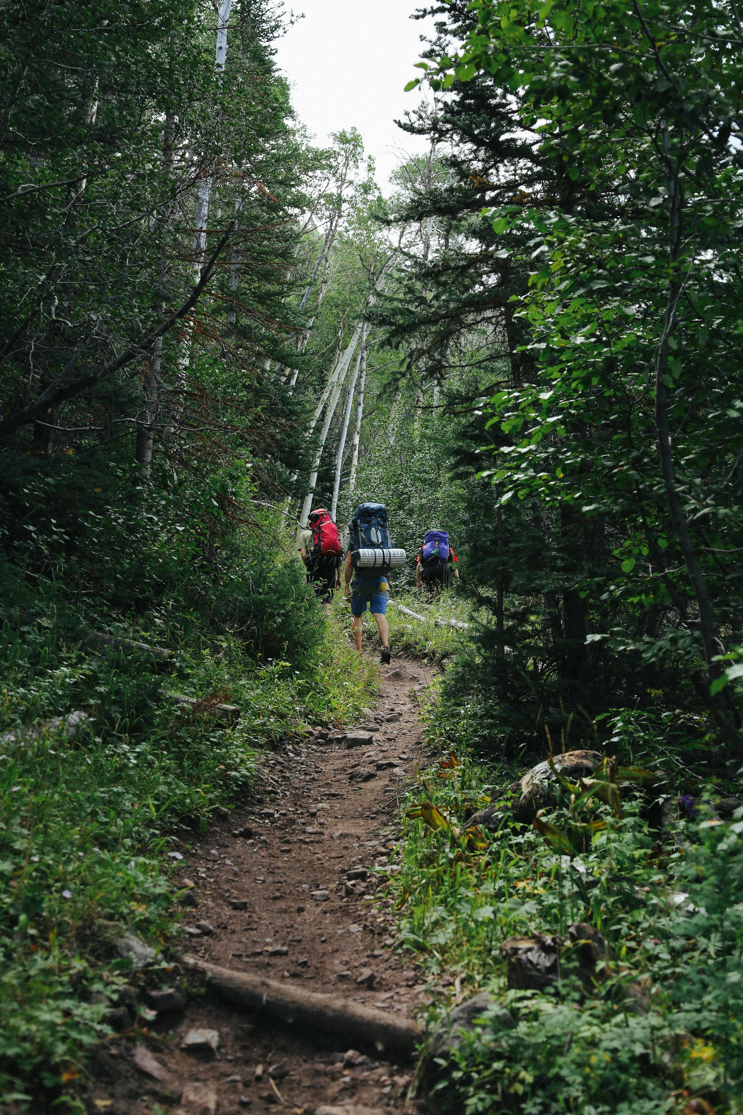
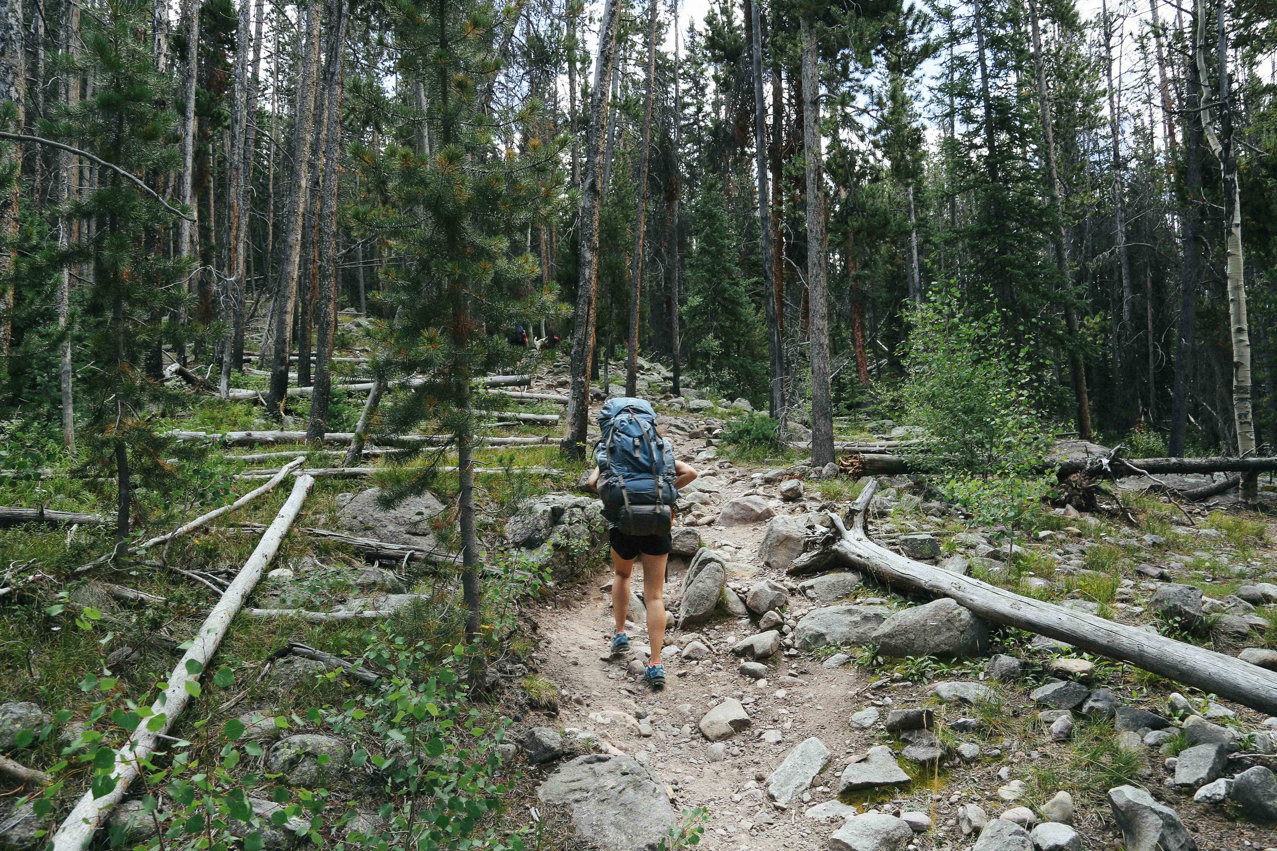
The next two miles are brutal, as they contain most of the 1,570 feet of elevation gain to Amethyst Meadows. Much of this section is steep switchbacks, with some minor scrambling over rocks. I was fine with my trail running shoes (which have a very large tread), though I imagine this section can become quite treacherous during rainy/snowy seasons (I would probably not attempt this part of the trail in poor weather without solid, waterproof hiking boots). There is a relatively flat landing partway up this section next to Ostler Creek, where we had a little sit-down and a snack and checked out the waterfall nearby. After this, the trail grade decreases somewhat, and the path continues along the creek through trees and small meadows, before arriving at Amethyst Meadow.
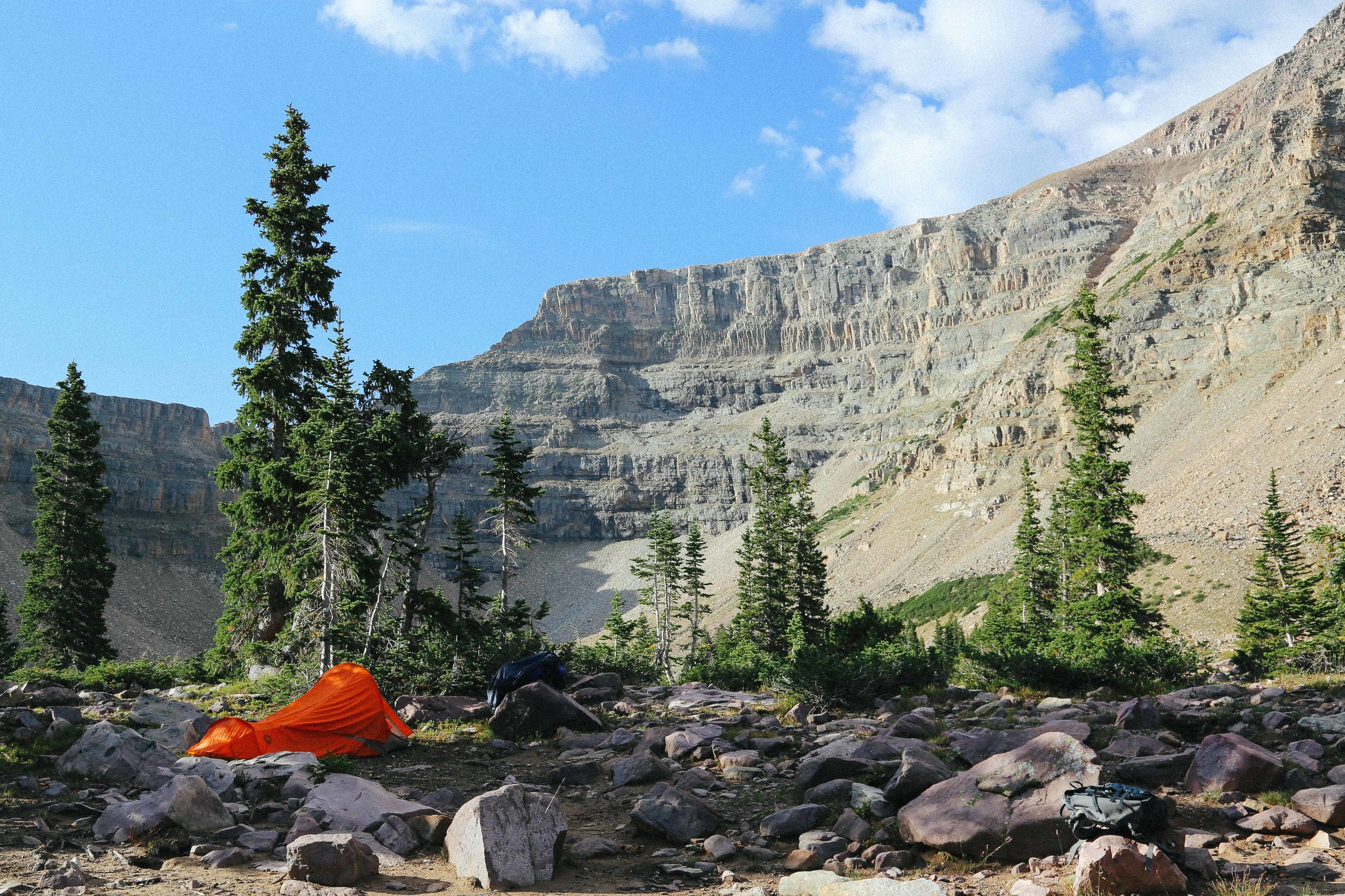
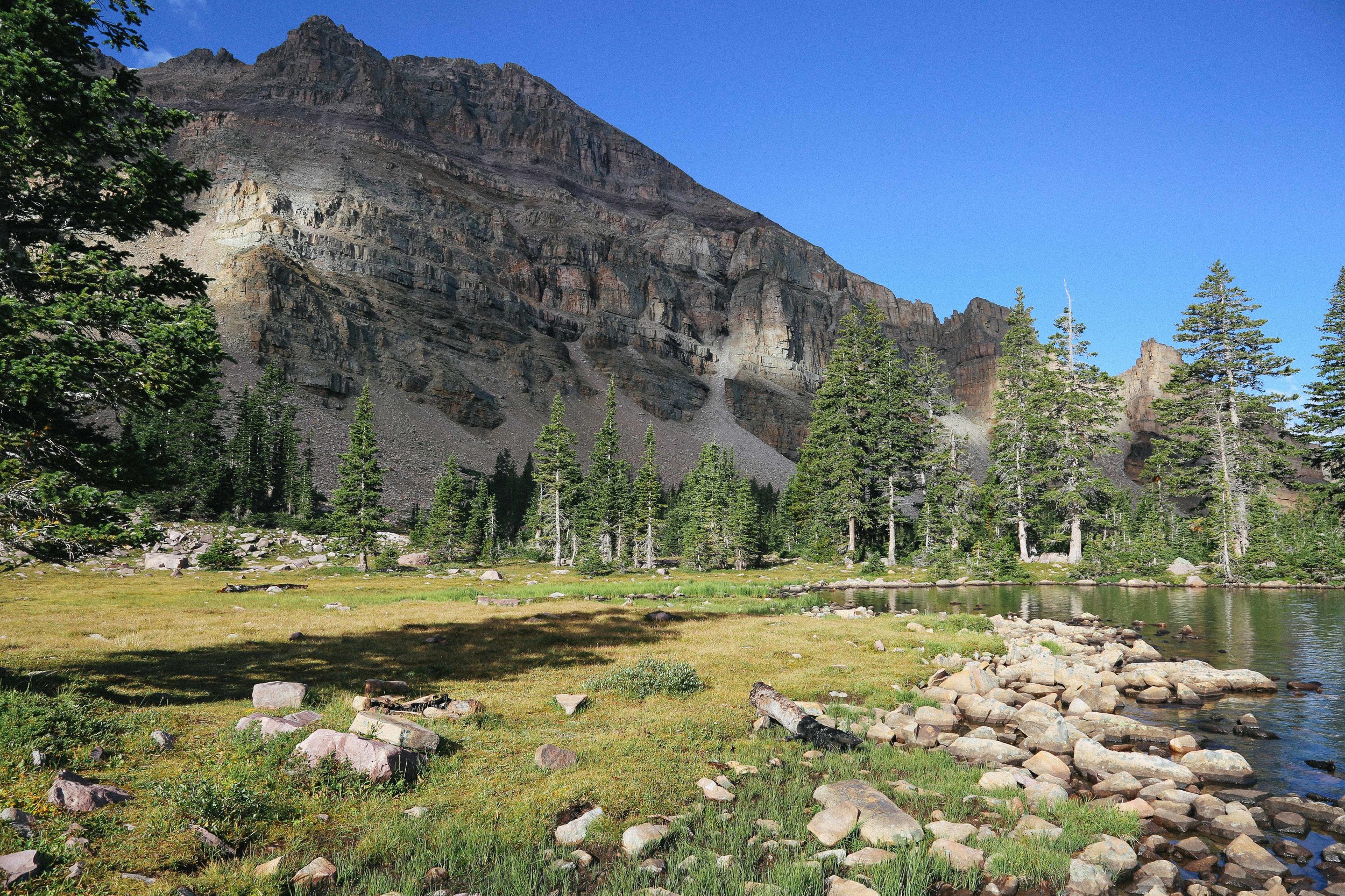
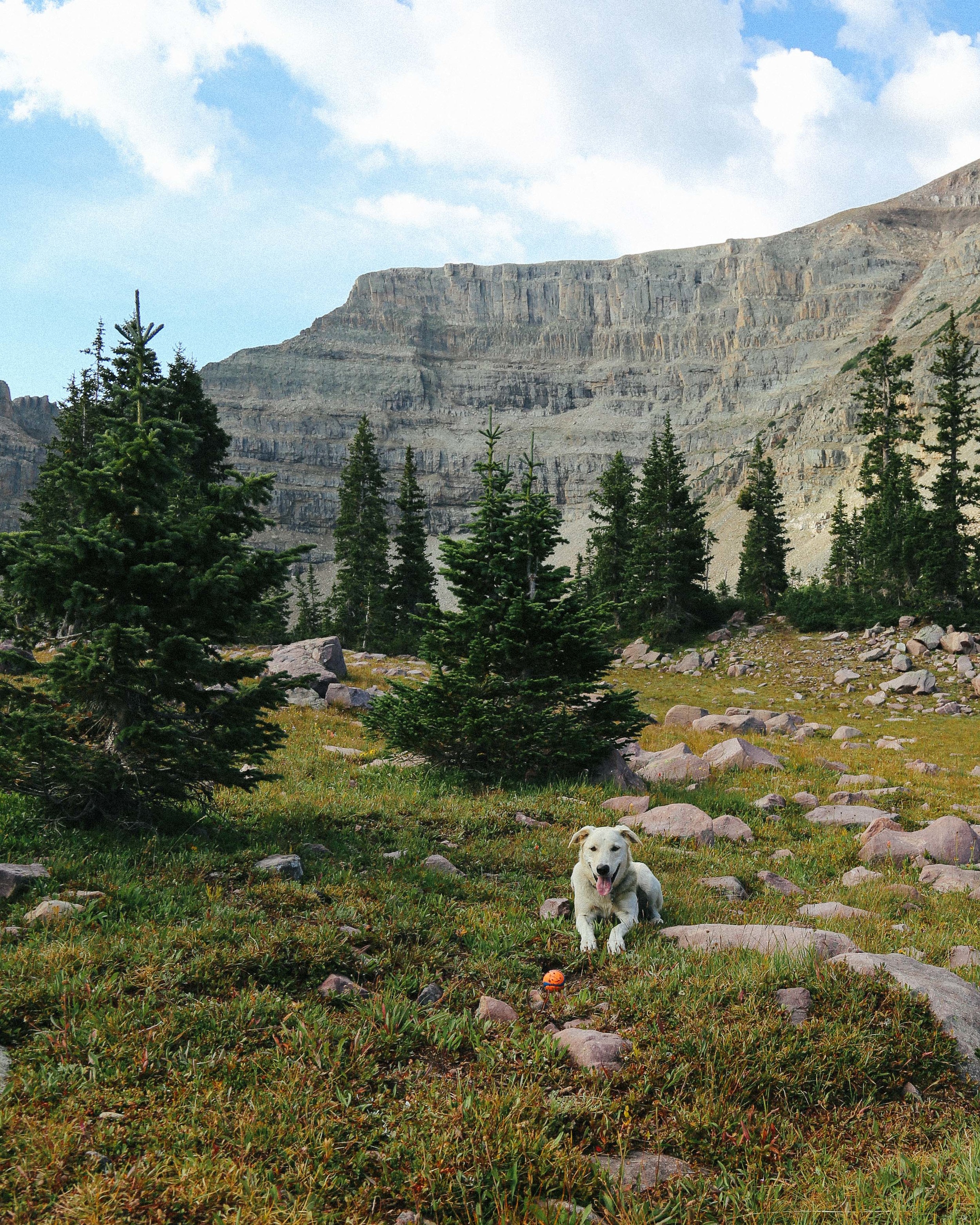
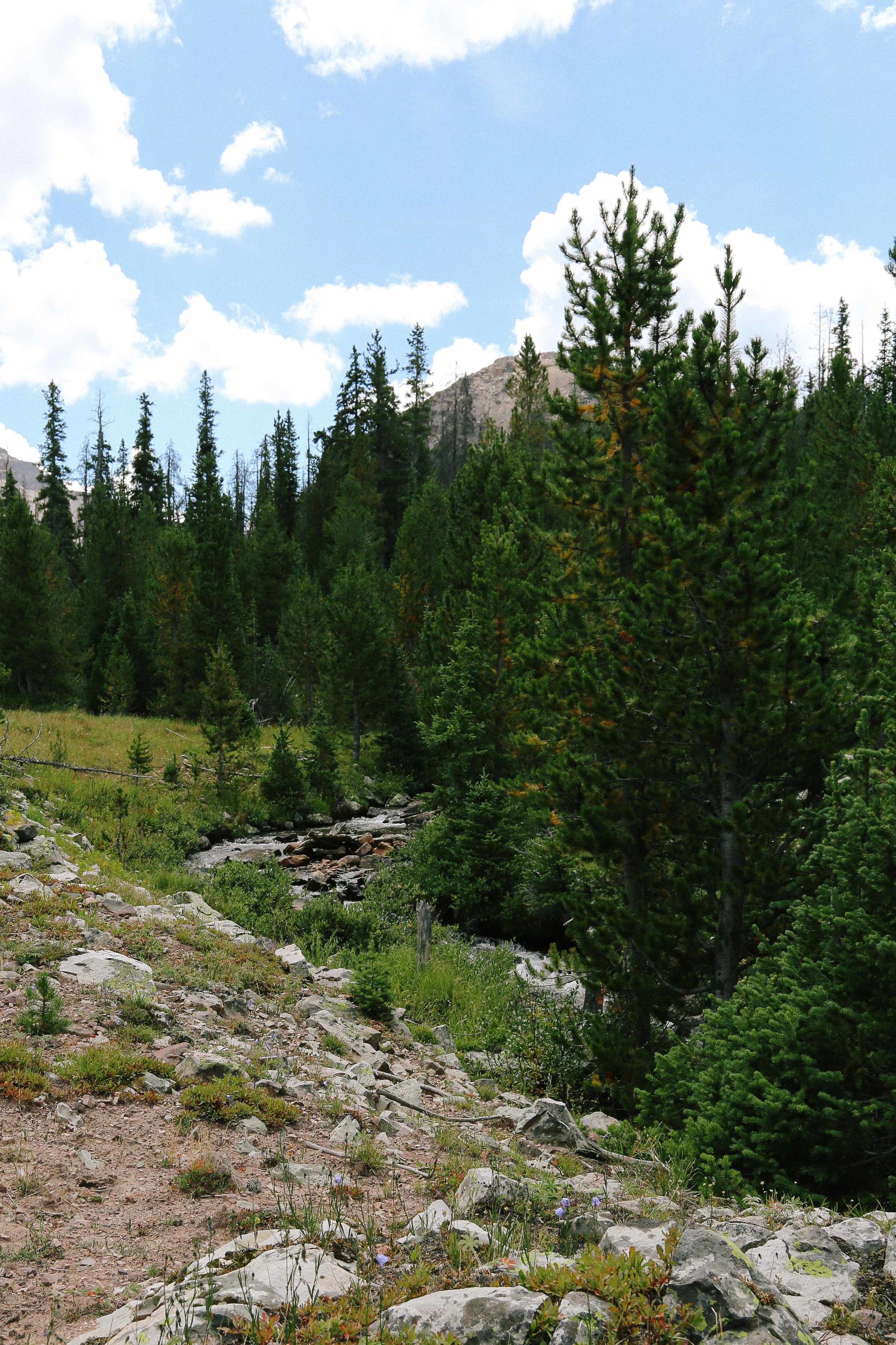
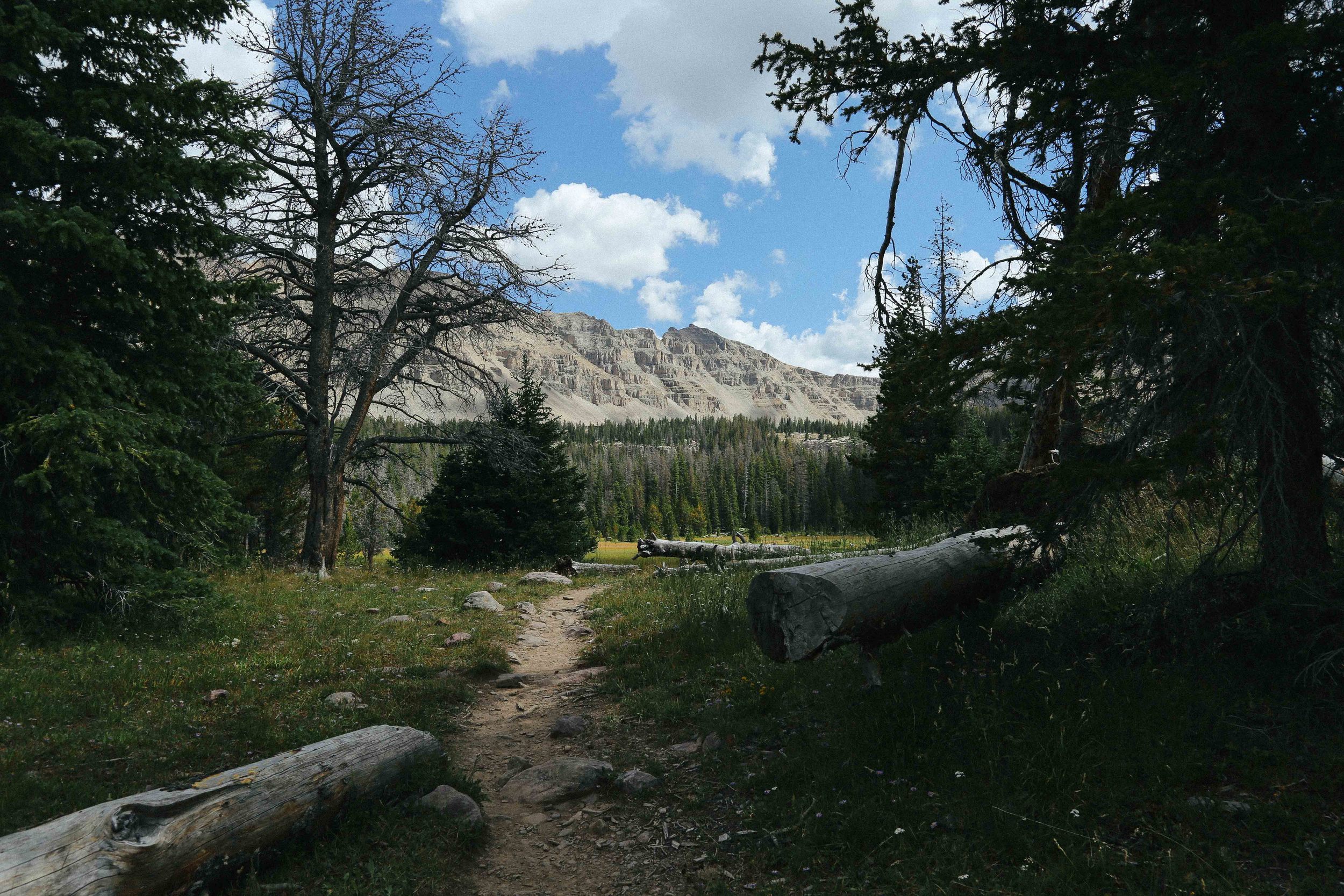
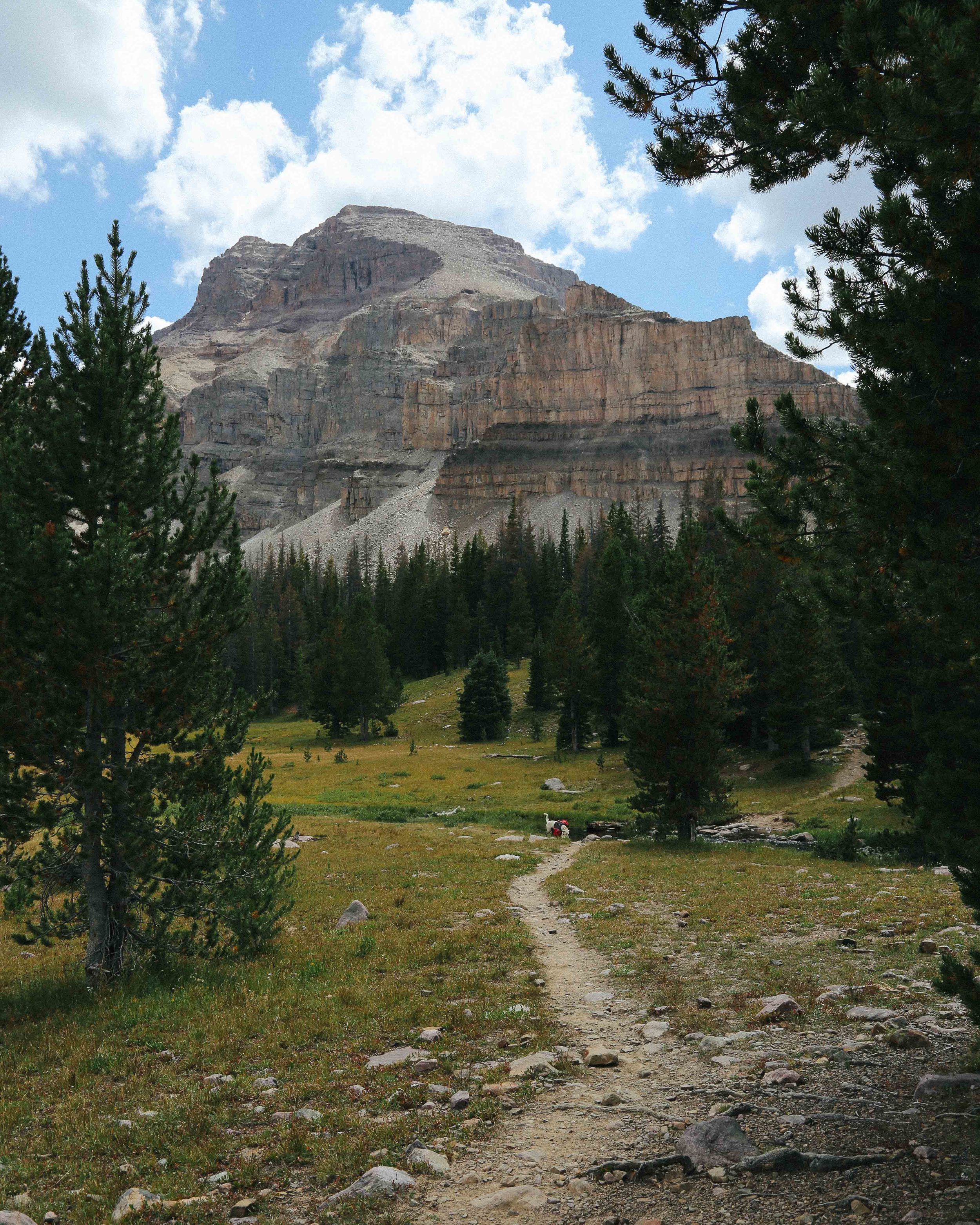
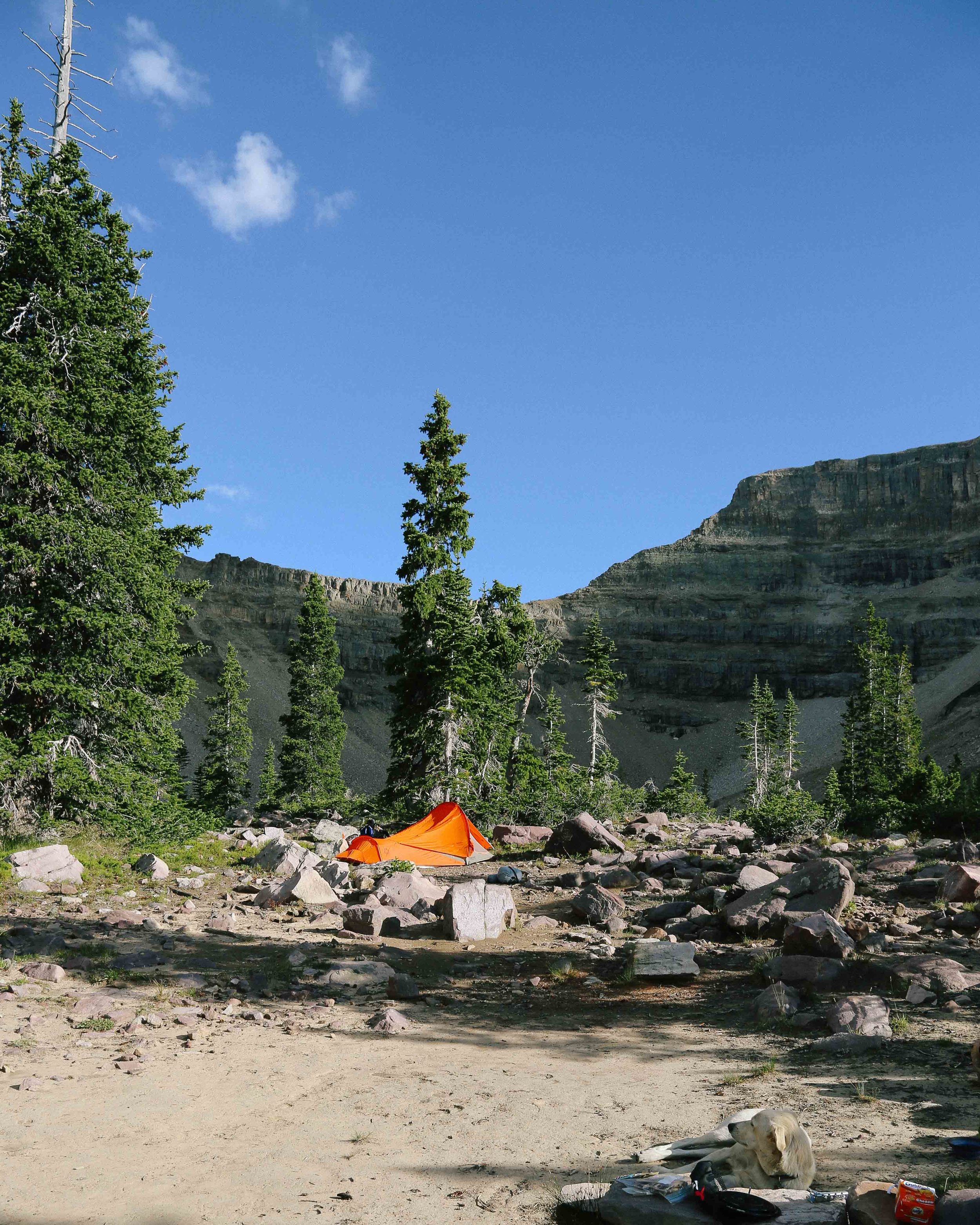
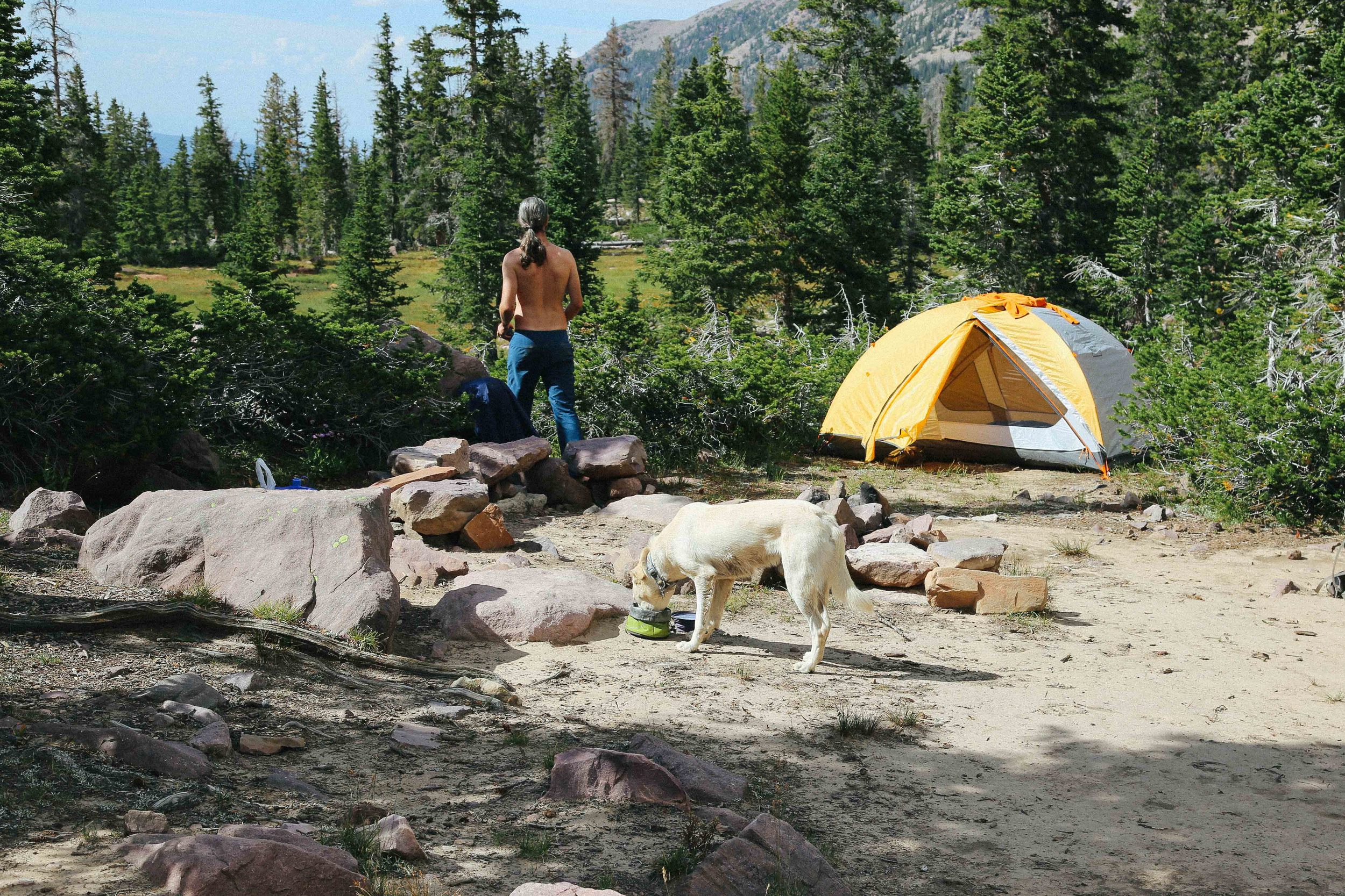
Amethyst Meadow is at the center of Amethyst Basin, and from here there are unobstructed views of both Ostler Peak and LaMotte Peak. Some people will choose to leave the trail at this point and camp along the edge of the meadow, as camping spots become both more popular and more scarce around the lakes ahead (which we discovered while we were looking for a site). You can always camp here and then make the 2 mile hike to the inner edge of the basin where Amethyst Lake is located.
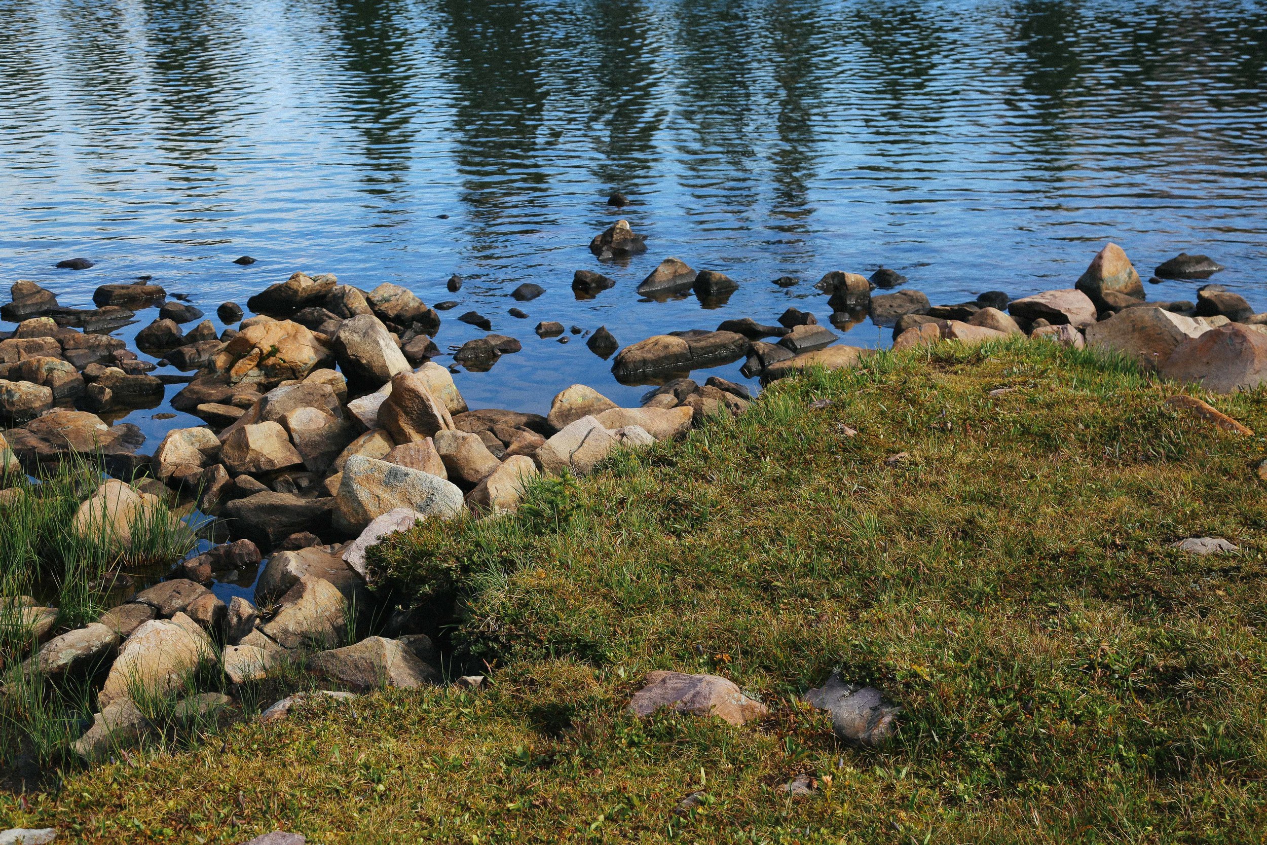
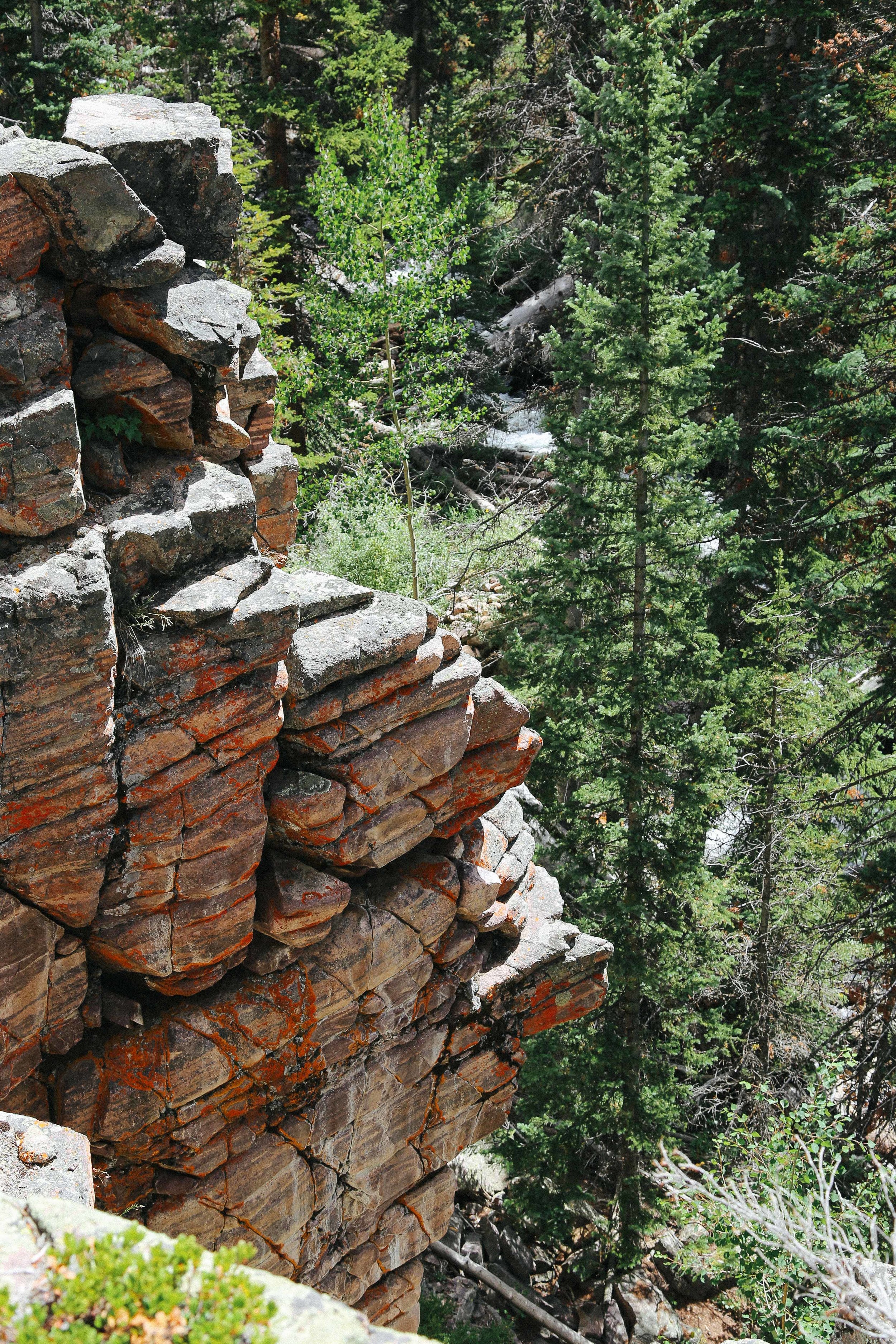
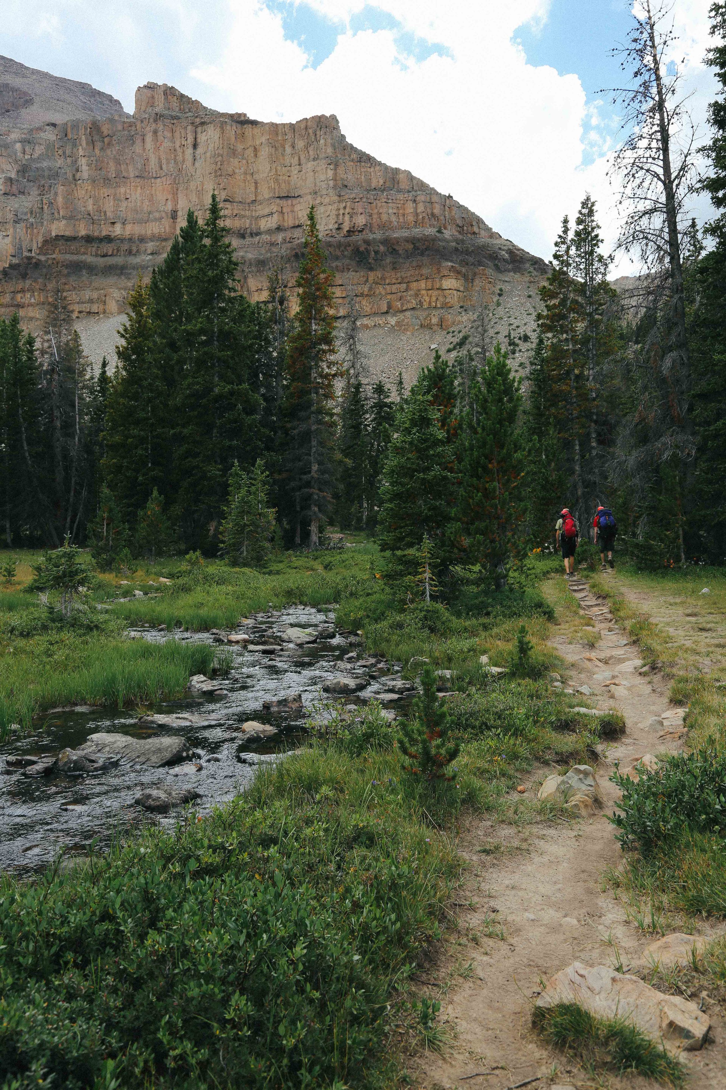
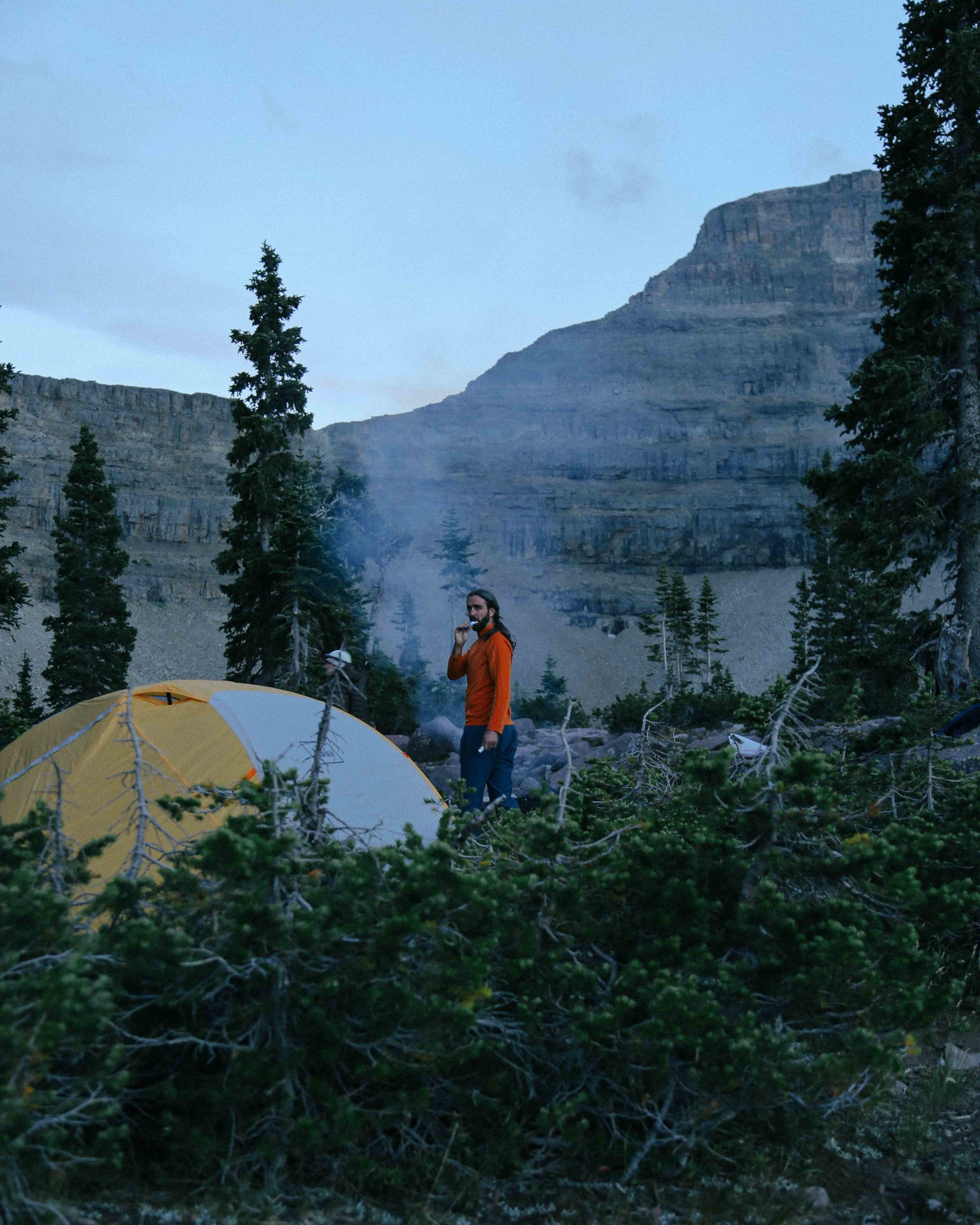
To get to Amethyst Lake, you'll need to cross over Ostler Creek. You'll see where the path crosses the creek (where there are some stones and logs that people step on), but there is a much easier spot to cross about 25-30 feet to the left of that spot. The trail continues along the creek, and soon arrives at Lake BR-24, or Emerald Lake. Amethyst Lake is just short of a mile further up the trail. While Emerald Lake is surrounded by trees and backed by cliffs, the area surrounding Amethyst lake is severely exposed and nearly at the timber line, so it isn't the most ideal place to camp (even though we, and a few other people, did camp there). We will probably look for a flat, sheltered area between the two lakes on our next visit.
We did not attempt to fish here, but almost every person we saw on the trail was carrying a fishing pole! I did some research following our trip, and it sounds like fishing is much better in Ostler Creek and Ostler Lake than in Amethyst Lake (which has been somewhat overfished and only has small brook trout at this point). Just FYI! I'll update this post should we fish on one of our next visits.
It took us about 4.75 hours to hike to Amethyst Lake with two 15 minute-ish breaks. The hike down ended up being about 3.5 hours, with a very short break when we made it to the bottom of the steep section of the trail.
If you want to give yourself a post-hike present, go here for milkshakes and burgers when you drive through Kamas (they have mint-oreo milkshakes, wheeeee).
THINGS WE LEARNED
Dogs may or may not roll on the ground while wearing their saddle bags, which may or may not explode any cans of beer you stored there. Most likely, may.
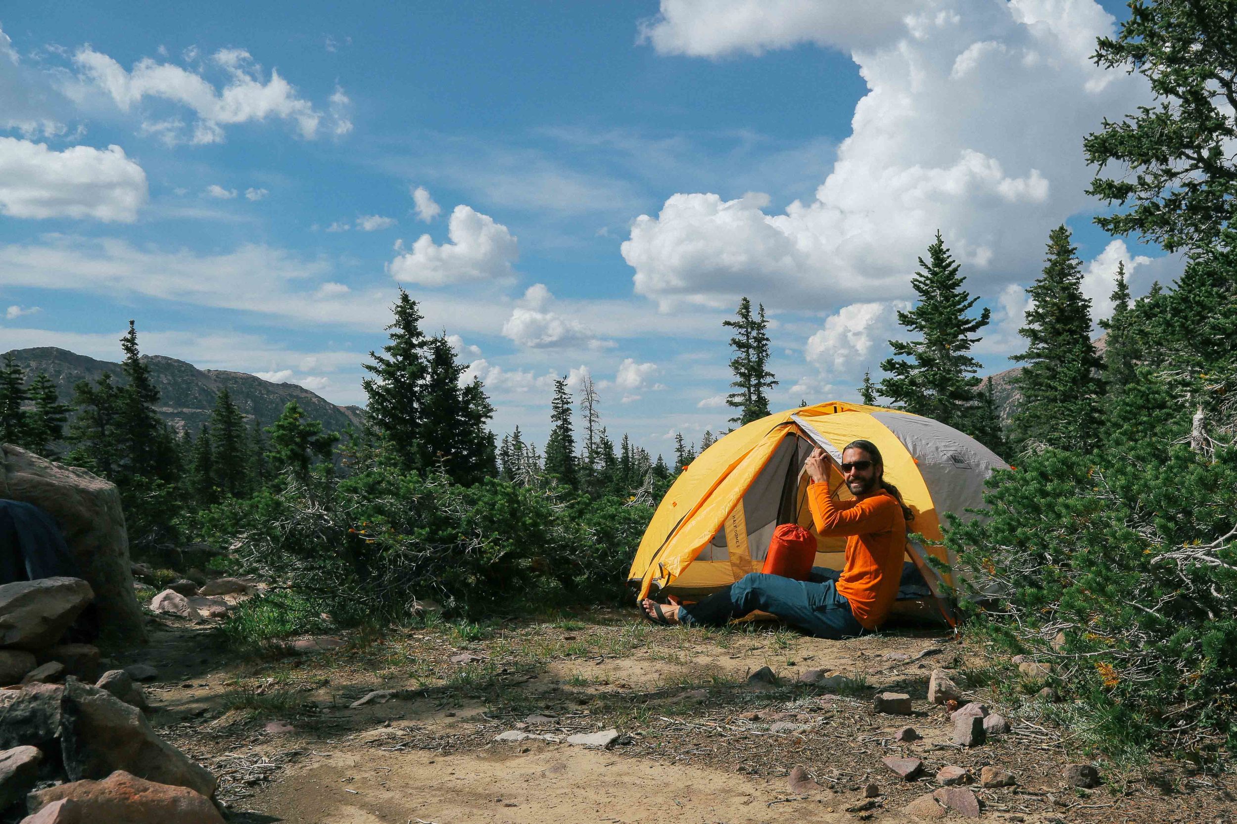
When you are camping in a basin, don't set your tent on the highest spot in the basin if there is a chance there will be a lightening storm, unless you would like to be quietly freaking out in your tent at 3:00am during a lightening storm.
Richard says, also maybe don't set up your tent next to a tree that looks like it was struck by lightening.
Camping in an exposed area with few trees means that whatever spot is relatively enclosed will become EVERYONE'S bathroom. Learn how to pack out your TP, folks (or at the very least, bury it well).
Layers are your best friends in the Uintas! I wanted to strip to my skivvies on the way up the mountain, but the moment we dropped our packs at our campsite, it was long underwear and puffy jackets all the way.
Wool socks are also your best friend (at night)! During the day, they are like the person that pretends to be your best friend but spreads rumors behind your back that you had a nose job, and the whole time you're with them you're thinking "I sort of hate you." Richard says wool socks are always his best friend.
Research the trails beforehand, or go with someone who knows their way; as mentioned, this trail was not marked terribly well in parts, and there were forks at a few locations, so you'll want a solid general idea of where you're going before you start.
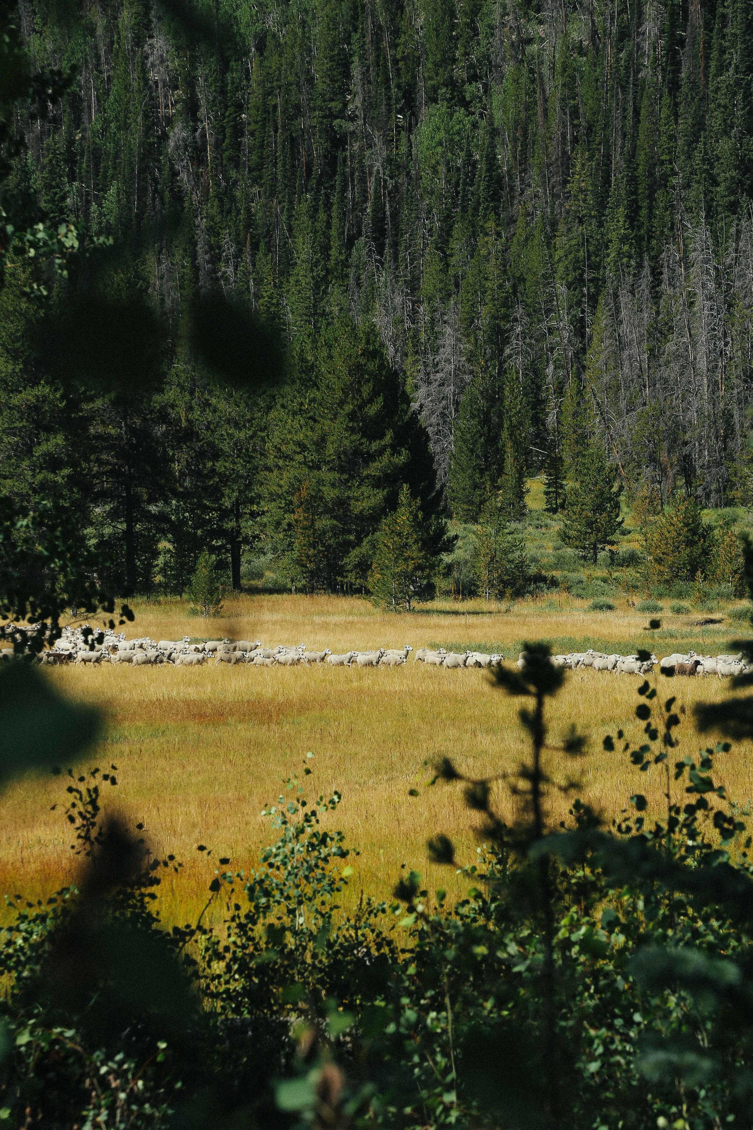
There are a lot of sheep in the Uintas!
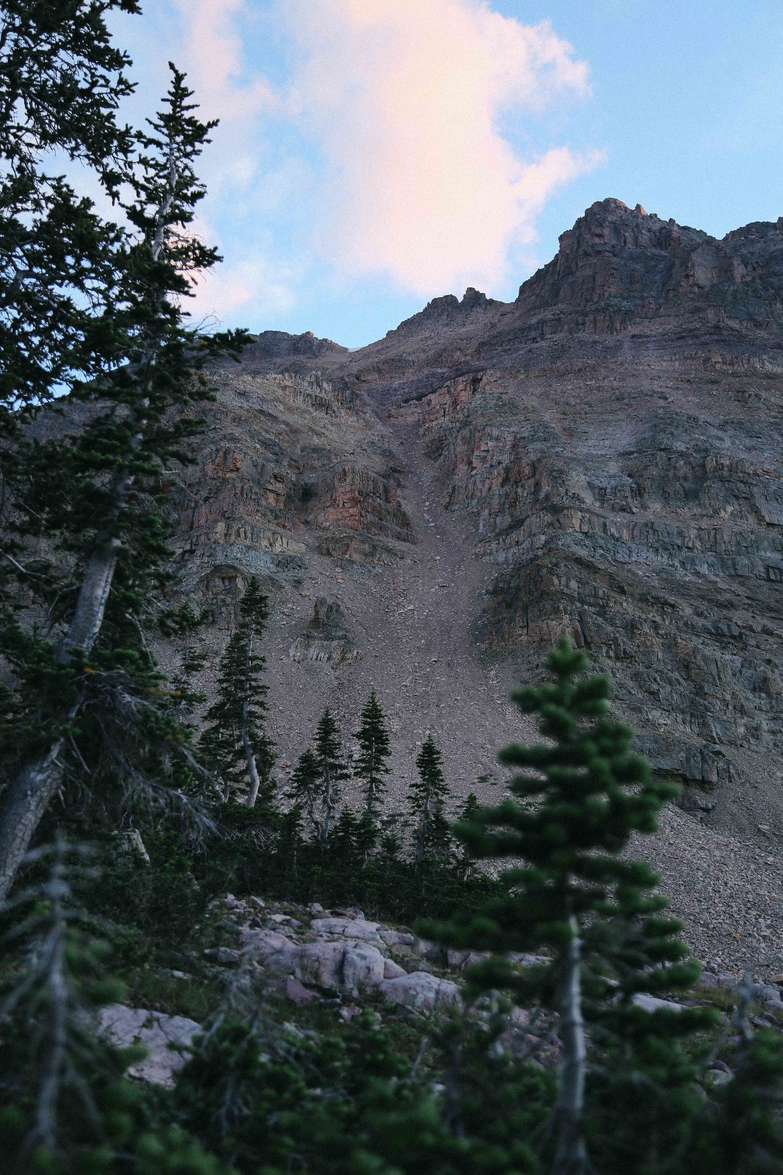
There are goats in the Uintas, and they hang out on the mountains and frequently start tiny (and sometimes bigger than tiny) rockslides. Mind the mountains, and set your tent a good distance away from talus piles (loose rock piles frequently found at the bottom of mountain; these give you an idea of how far rocks have fallen.)
There are bears in the Uintas, but they are less likely to bother you than the squirrels and chipmunks, which will menace the living crap out of you and your dog and, most likely, any unzipped backpack.
Climbing tape will attach your sole back to your boot in a pinch if it detaches from your shoe while you are hiking. IMPORTANT: make sure to bring enough tape for both shoes, because your other sole may or may not detach itself from your other shoe within 15 minutes of the first. Most likely, may.
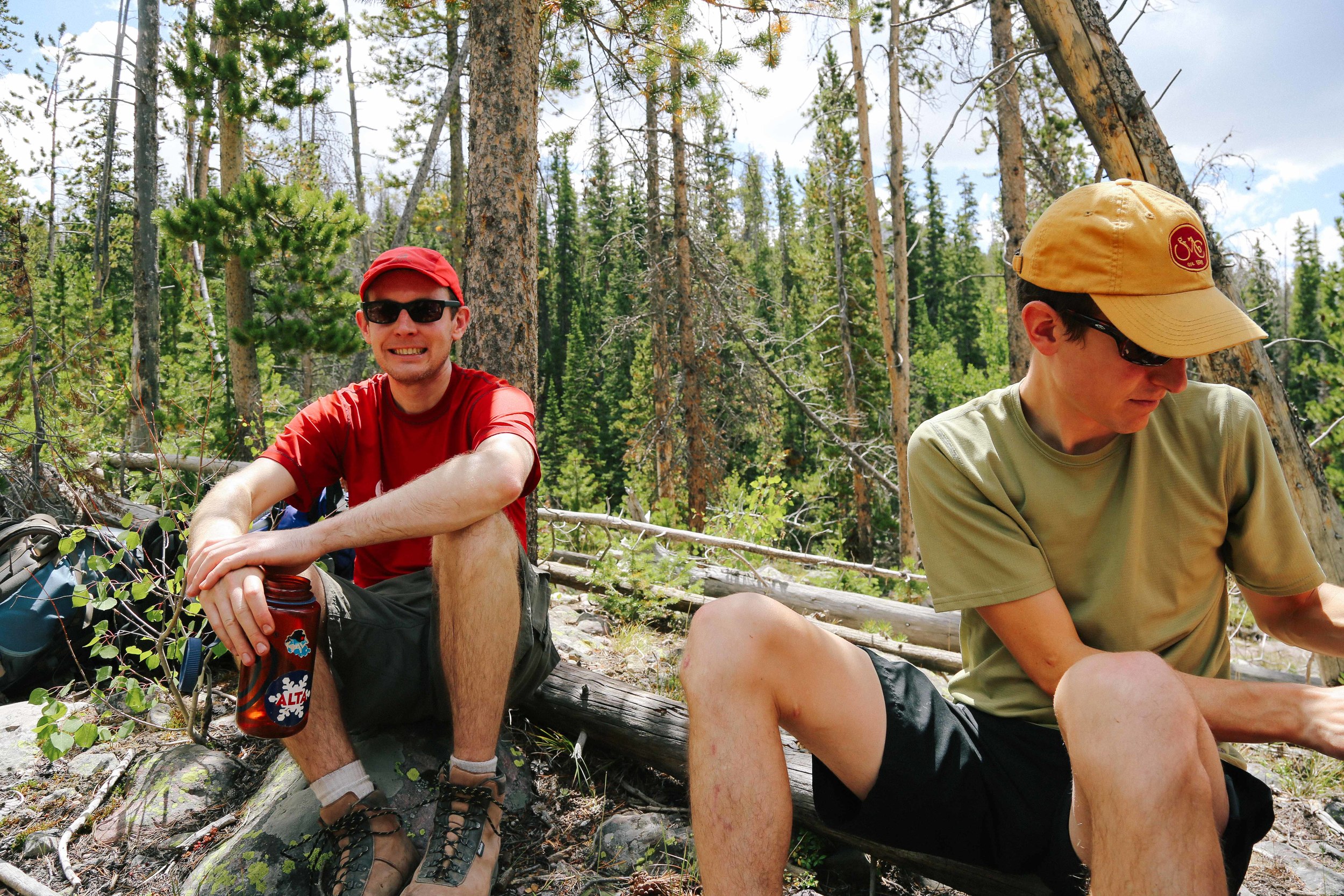
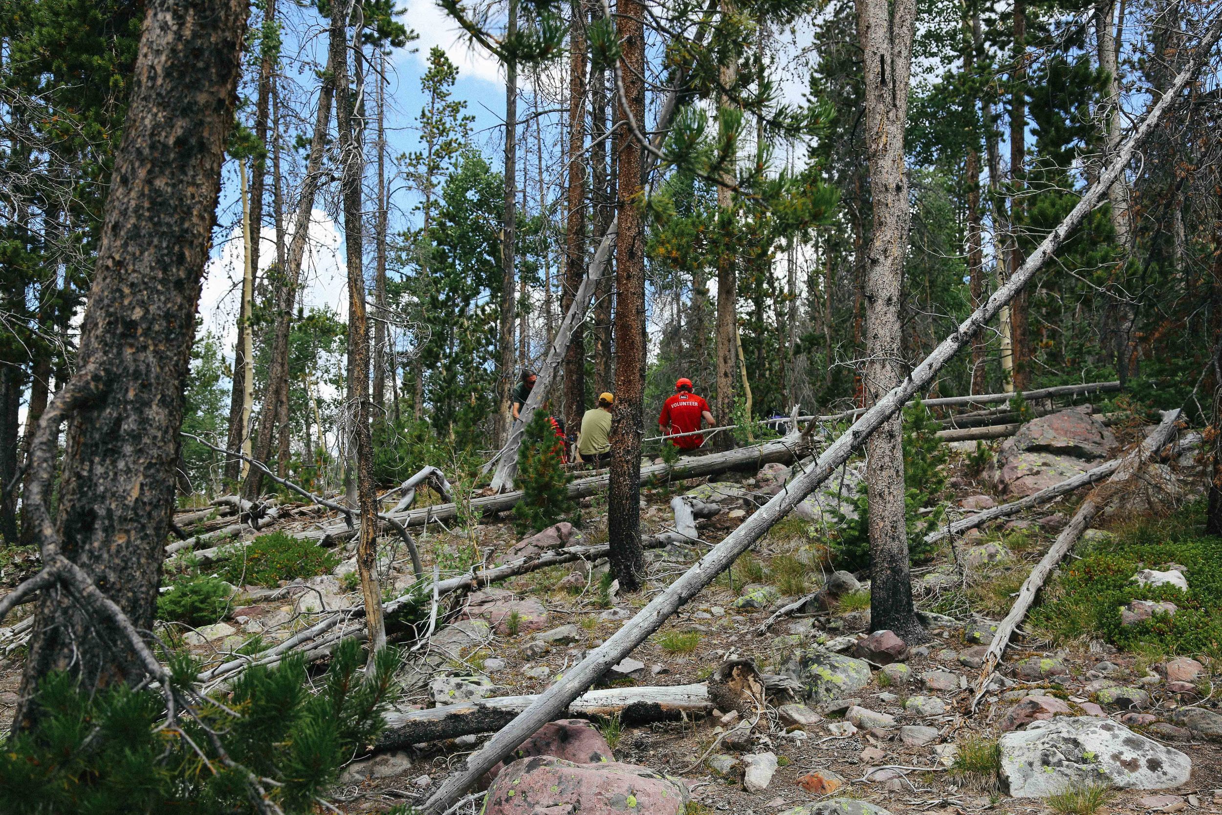
(Note - photos show the trail and basin as it is in late August)